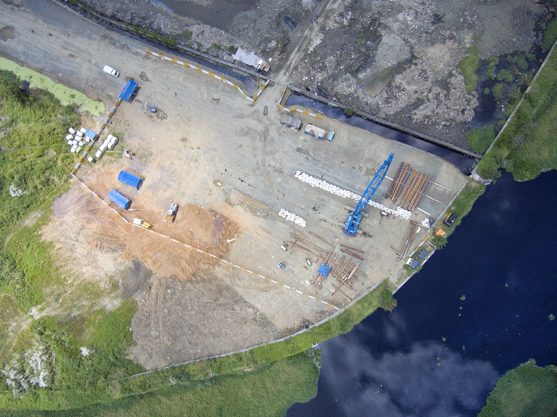
Surveyors Who Treat Your Boundaries Like Their Own
Stakeline Survey Co was founded on a simple belief: no project should break ground on uncertain measurements.
Two Decades of Field Craft, Backed by Modern Instruments
What began as a two-person field crew has grown into a full-service surveying practice serving homeowners, builders and civil engineers across the region. Our party chiefs carry state licensure, and every plat that leaves our office passes a senior review before it reaches your hands.
We invest in robotic total stations, GNSS networks and aerial mapping so a one-acre lot gets the same rigour as a hundred-acre corridor — and we explain every finding in plain language, not jargon.
Explore Our Services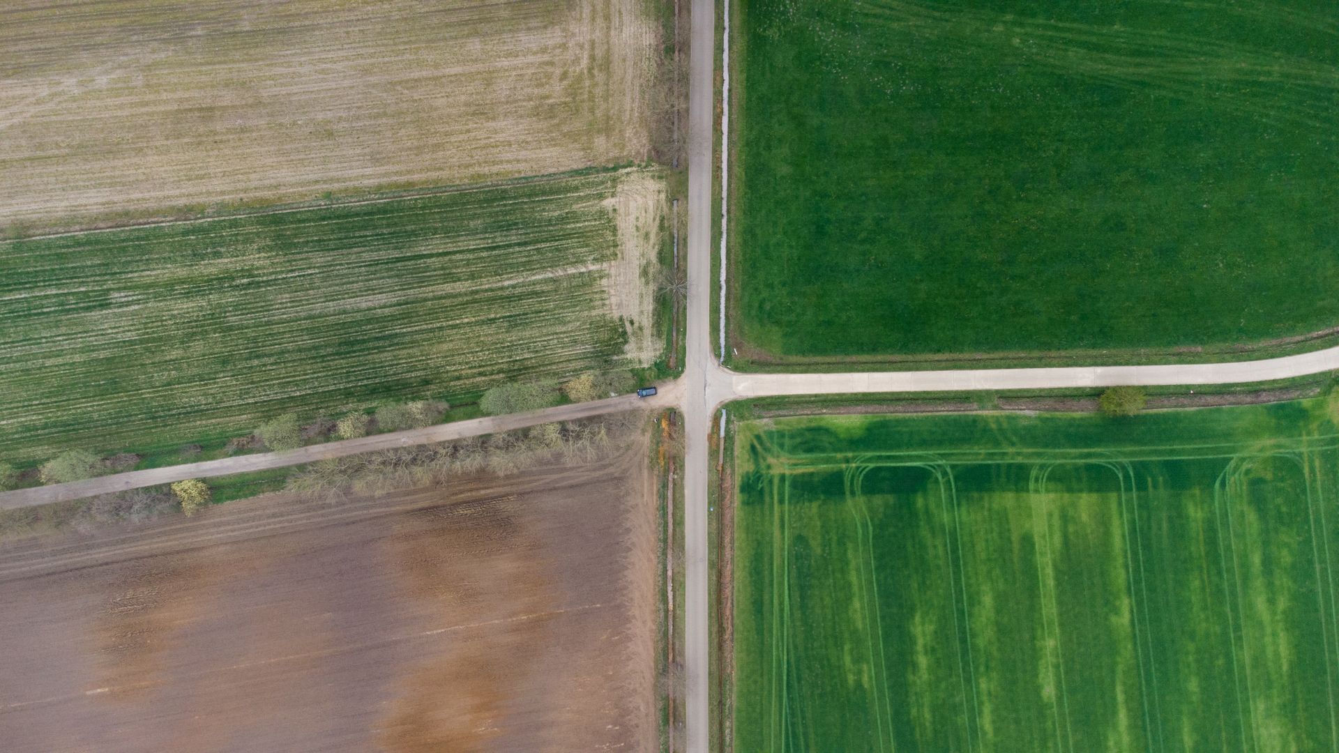
A Record Measured in Completed Projects
320+
Satisfied clients across residential, commercial and public work.
1,400+
Surveys delivered, from single lots to multi-mile corridors.
21 yrs
Combined licensed experience on every review desk.
98%
Of plats delivered on or before the promised date.

Calibrated Gear, Documented Process, Plain Answers
- Licensed & insured. Responsible charge by a state-licensed Professional Land Surveyor on every job.
- Research before fieldwork. Deeds, plats and easements pulled and analysed before a single stake is set.
- Fixed written quotes. You approve the price before we mobilise — no hourly surprises.
- Files your team accepts. Certified PDFs, CAD linework and GIS deliverables as standard.
Have a property that needs measuring?
Tell us about your lot or project — we reply with a fixed quote within one business day.