Welcome to Stakeline
Boundaries You Can Build On
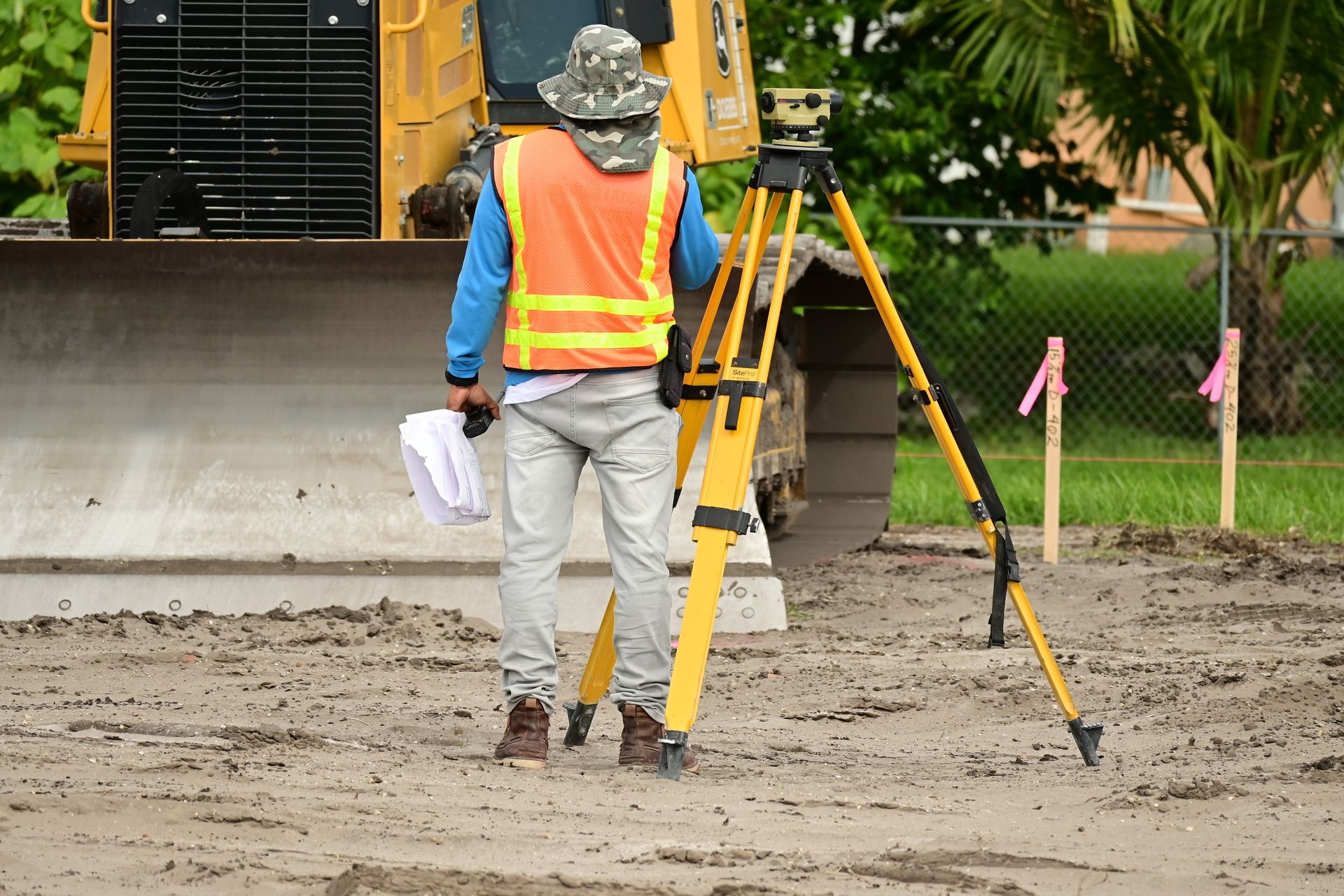
From boundary lines to building pads, our licensed surveyors turn complex field conditions into measurements you can build on with total confidence.
Get StartedLicensed at Every Step
A registered land surveyor leads every job, from records research to the final plat.
Measured Twice, Staked Once
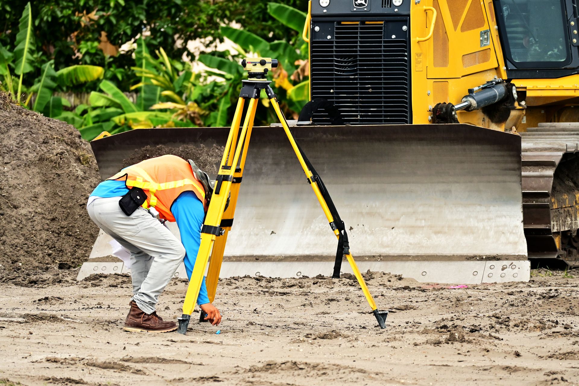
Calibrated instruments and a documented check on every point we set.
Built for Builders
Surveys that keep homes, offices and civic projects on schedule.
About Us
Field-Proven Methods and Modern Instruments, Turned into Plans You Can Act On
Get Started
340+Clients Served

Services
What We Survey
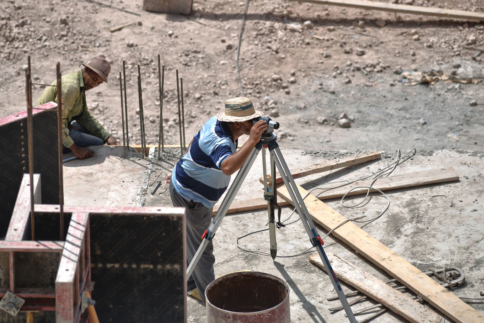
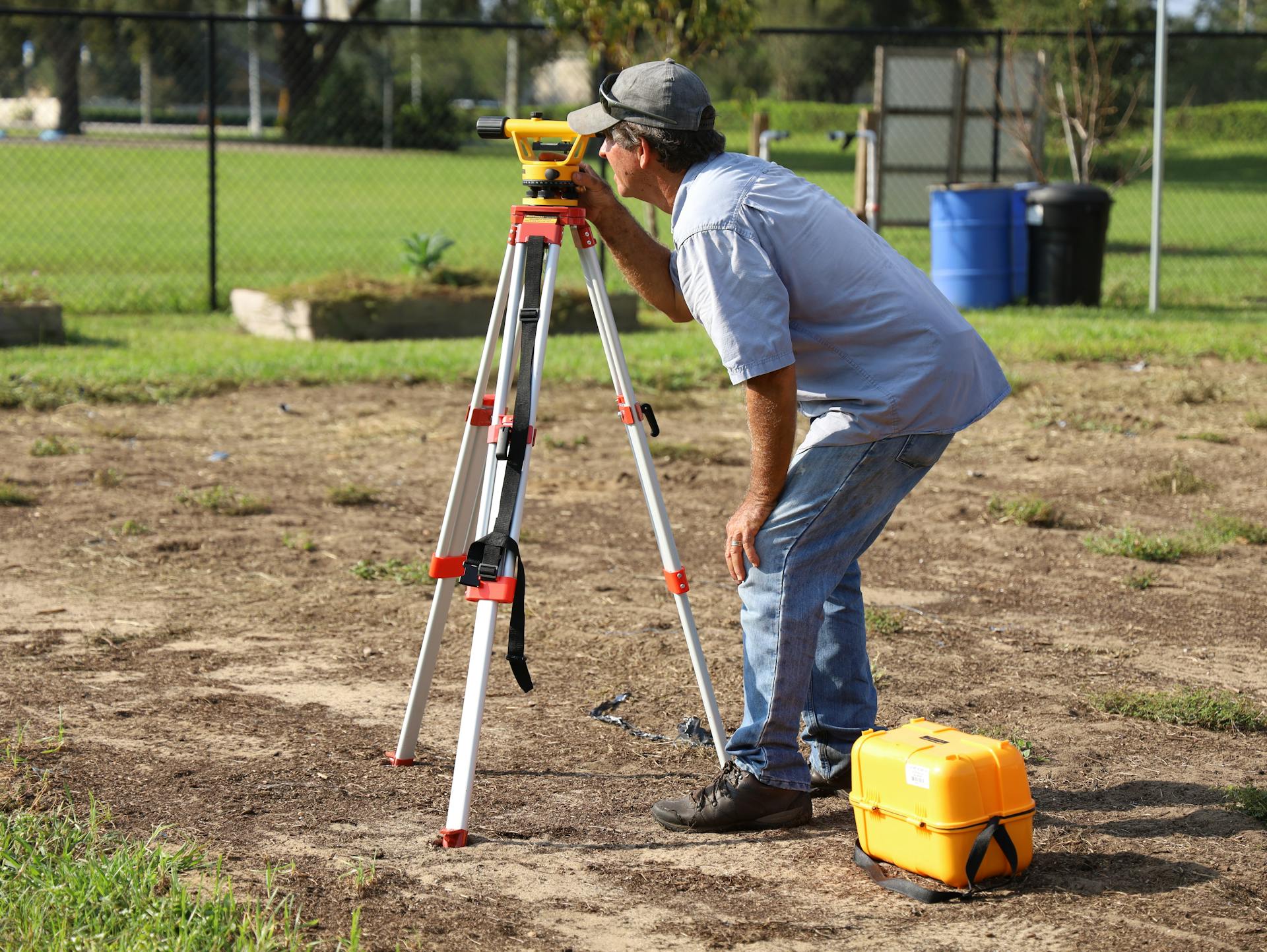
From the first boundary pin to the last as-built check, choose the survey your site needs.
All Services Why Choose Us
Why Owners and Builders Hire Stakeline
Every plat, map and stake we deliver is backed by calibrated instruments, licensed professionals and a review process that catches errors before they reach your site.
Modern Instruments
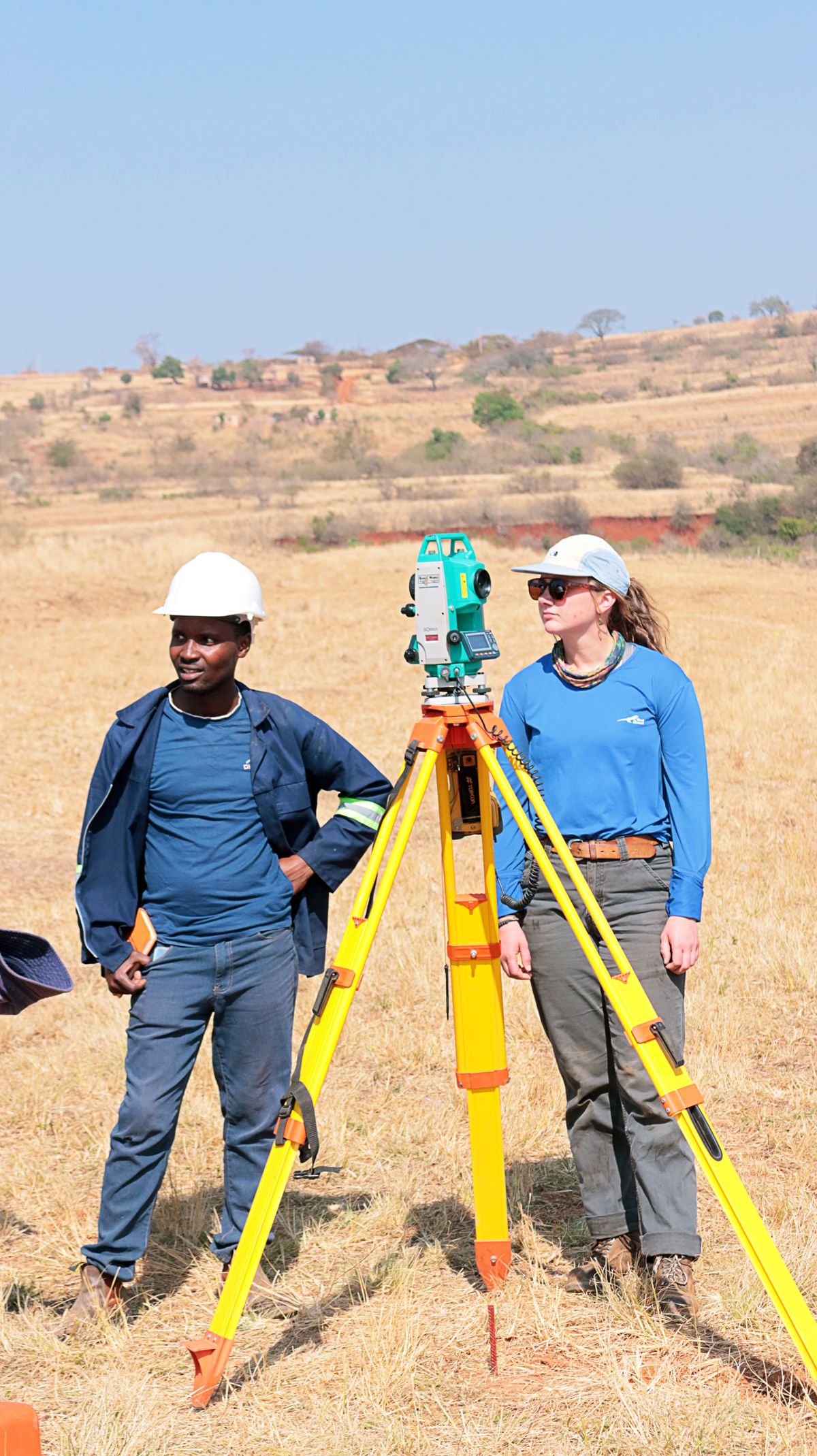
Robotic total stations, GNSS rovers and drone mapping capture every detail with millimetre confidence.
Licensed Crews
Licensed surveyors with decades of combined field experience across residential and civil work.
Quick Turnaround
Streamlined field crews and in-house drafting keep your schedule moving without rework delays.
Dependable Deliverables
Clear plats, certified reports and digital files your engineers, lenders and attorneys accept.
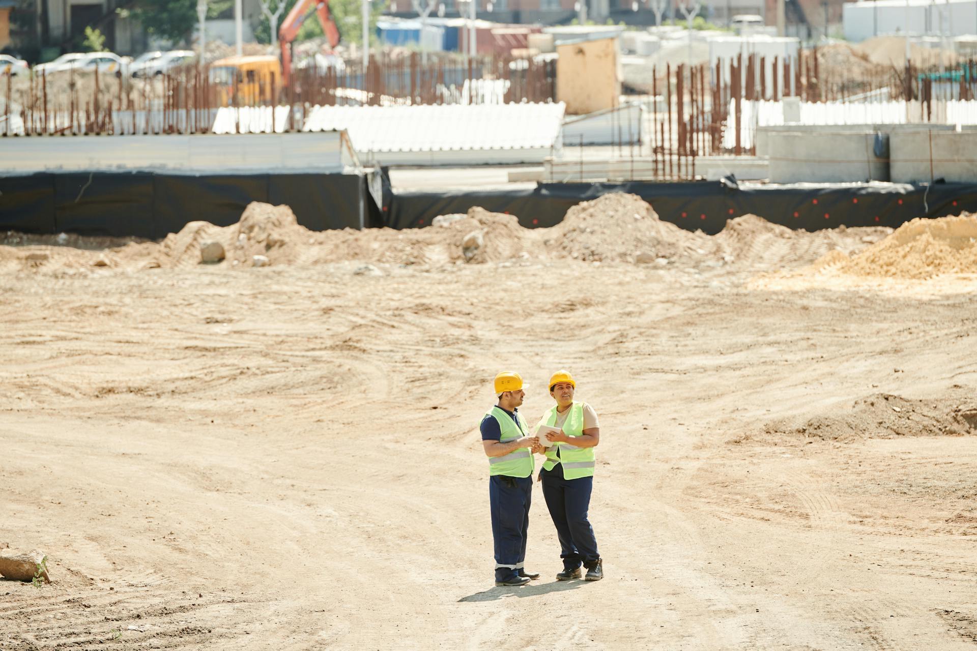
Our Project
Our Surveying Projects
Residential Boundary Survey Project
Full perimeter retracement and corner monumentation for a twelve-lot subdivision, clearing title exceptions ahead of closing.
Learn More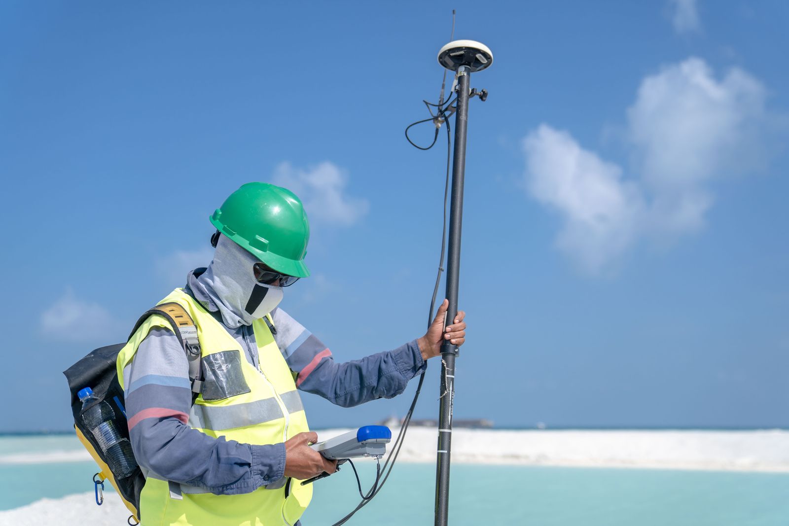
Urban Parcel ALTA Survey
ALTA-grade urban boundary and easement mapping for a mixed-use redevelopment parcel with complex historic deeds.
Learn More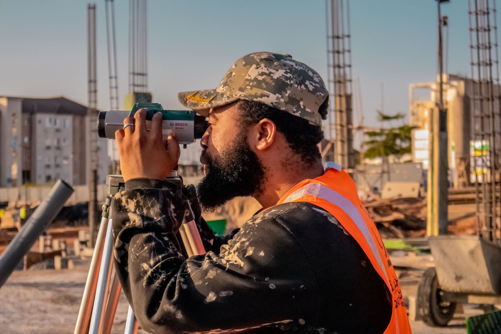
Infrastructure Development Land Survey
Corridor control and terrain modelling across rolling hills for eleven miles of planned utility infrastructure.
Learn More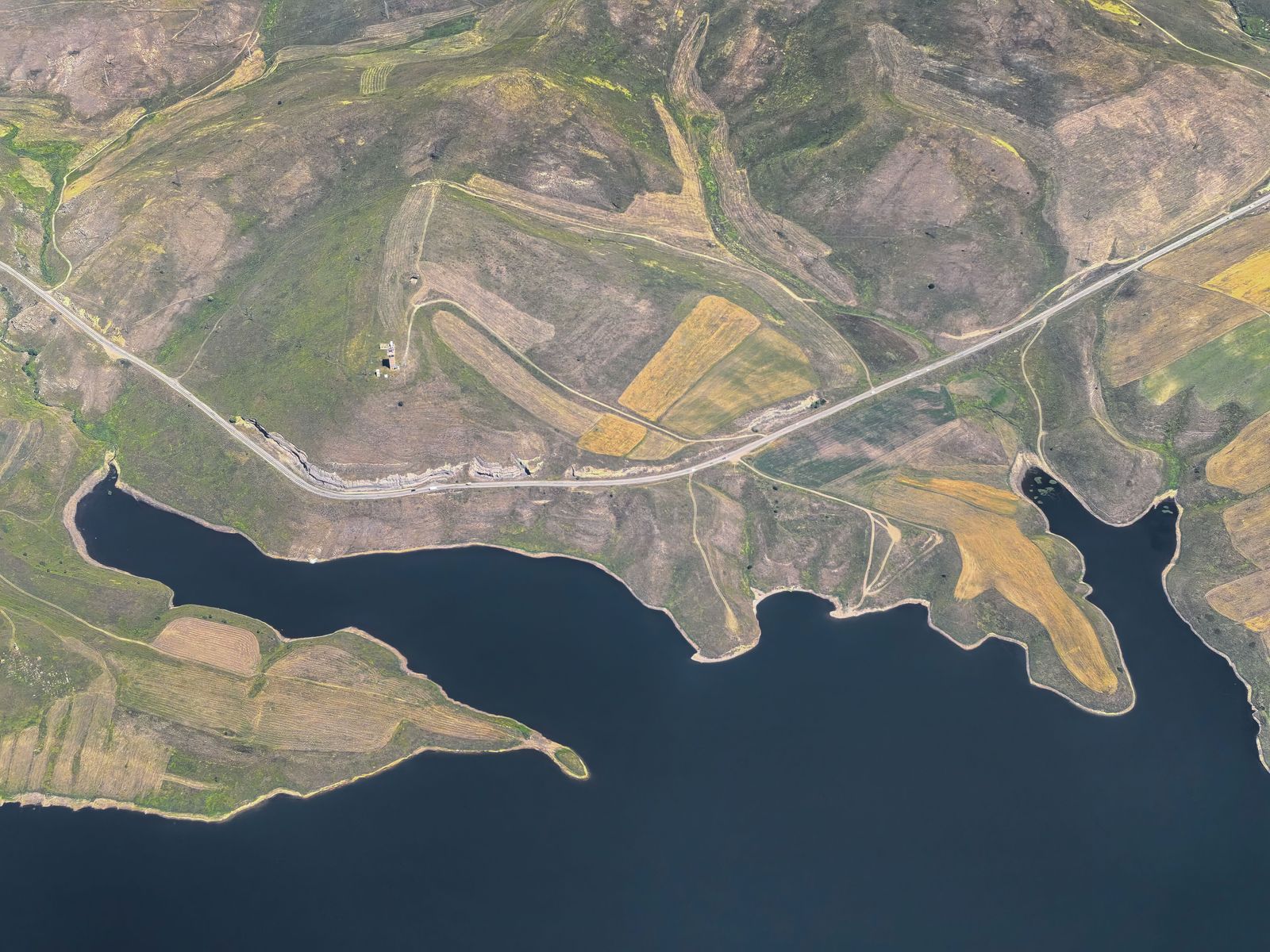
Construction Layout Survey for Office Complex
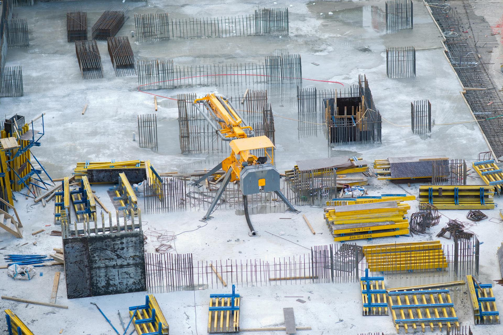
Grid staking, anchor-bolt verification and as-built checks through every phase of a three-storey office build.
Learn More
Testimonial 



What Our Clients Say
“Their field crew found two monuments the county records had missed and saved us a month of redesign.”
Marcus HaleCivil Engineer
“Clear plats, honest timelines and a surveyor who actually returned my calls. I now recommend them to every client.”
Elena RuizProperty Consultant
“The staking was accurate to the centimeter and the digital files dropped straight into our CAD workflow.”
Tom OkaforSite Planner
“From quote to certified plat in one week. Closing never slipped because of the survey.”
Priya NairReal Estate Developer
Get Started
Book Your Appointment
FAQ
Frequently Asked Questions
Answers to the questions property owners and builders ask us most — timing, pricing, deliverables and how to get started.
Still Have Questions?We provide a wide range of land surveying services including boundary surveys, topographic mapping, construction staking, ALTA/NSPS title surveys, drone and LiDAR mapping, and elevation certificates. Our crews are equipped and licensed for residential, commercial and infrastructure work of any scale.
Most residential surveys are completed within three to five business days of the site visit, while larger commercial and infrastructure projects follow an agreed schedule. We confirm your delivery date in writing before any fieldwork begins.
Every project is staffed by our own licensed surveyors and trained field crews — we never hand you instruments and leave. A party chief is present on site for the full duration of the fieldwork.
If a monument cannot be found or a discrepancy appears in the record, we research adjoining deeds, set new monuments to state standards and clearly flag every finding on your plat — at no surprise cost to you.
Use the booking form above or our contact page to describe your property and what you need. We respond with a fixed written quote — usually within one business day — and schedule your fieldwork at a time that suits you.
Yes. We deliver certified plats and digital files directly to you, your lender, attorney or builder, and we file record drawings with the county where your jurisdiction requires it.
Our Blog
Read our latest news and articles

March 10, 2026
How Surveyors Shape a Development Before Ground Is Broken

February 24, 2026
Boundary, Topographic or ALTA: Which Survey Do You Need?
February 12, 2026