Service Introduction
Your Property Lines, Proven and Monumented
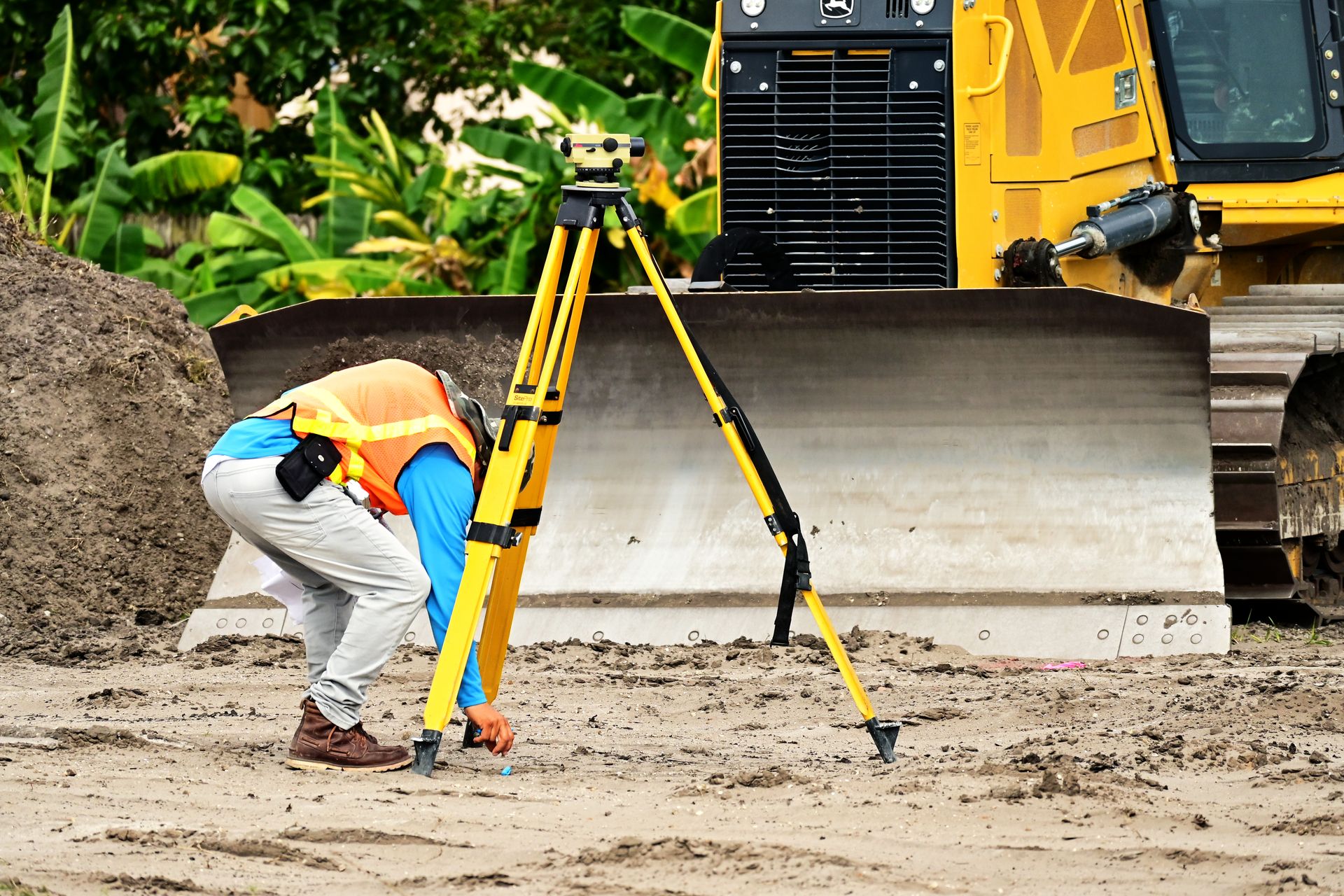
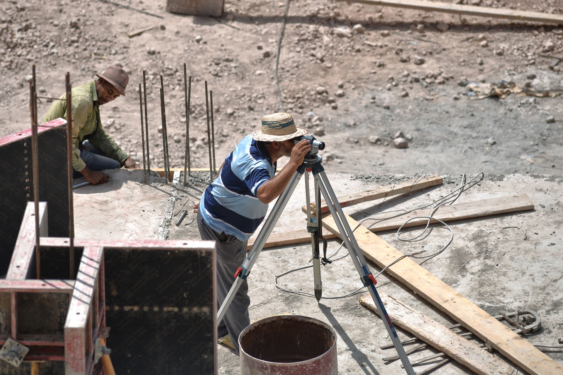
A boundary survey retraces your legal description on the ground: we research deeds and recorded plats, recover existing monuments, resolve gaps or overlaps with adjoining parcels, and set new capped monuments where corners are missing.
You receive a certified plat showing lines, dimensions, easements and encroachments — the document lenders, attorneys and title companies ask for before money changes hands.
Request a Quote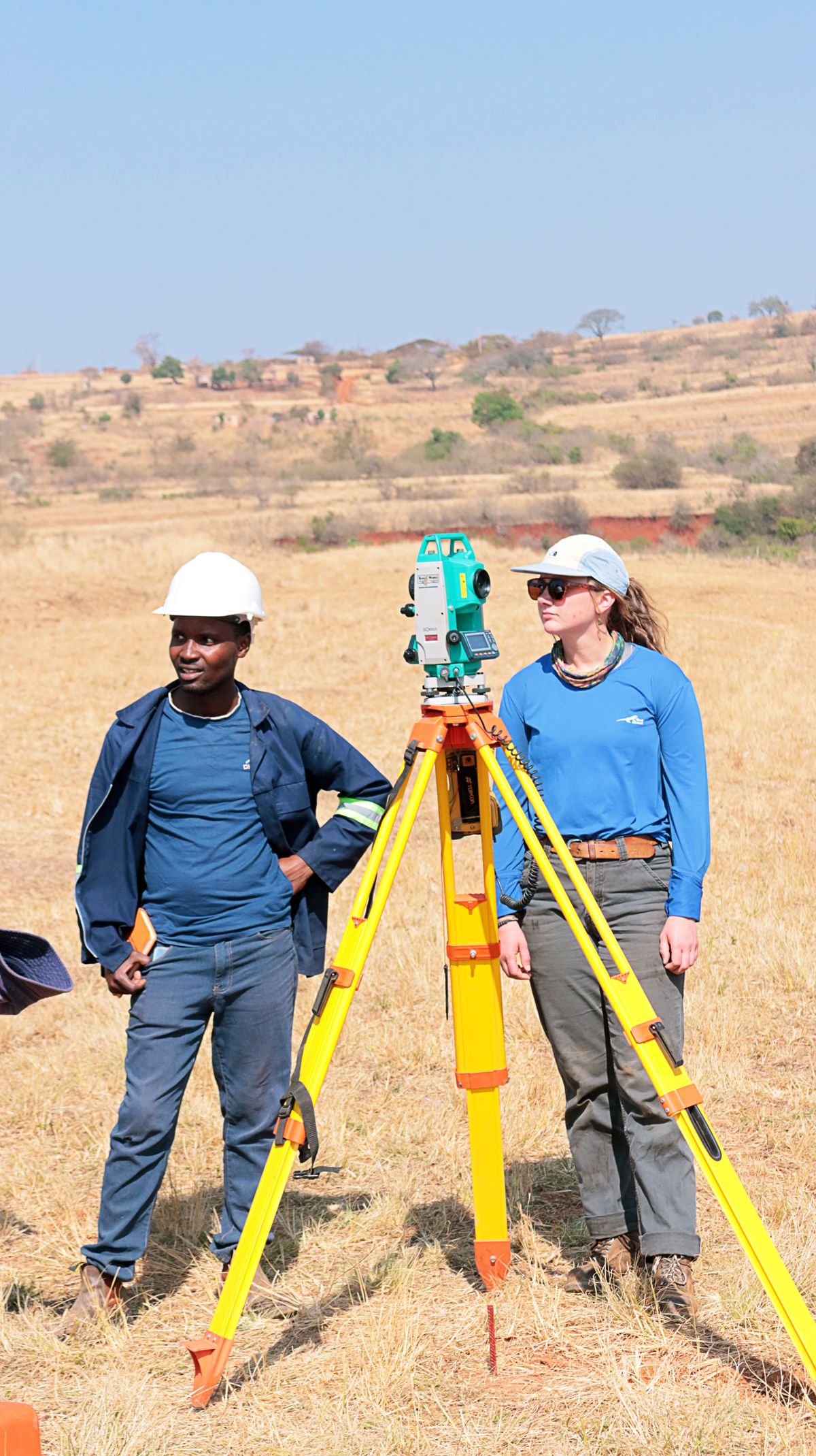
What's Included
Everything in a Stakeline Boundary Survey
Deed & Plat Research
Chain-of-title review, adjoining deeds and recorded plats pulled before fieldwork.
Monument Recovery
Existing iron pins, stones and markers located with magnetic and GNSS methods.
Corner Setting
Missing corners re-established to state standards with capped, stamped monuments.
Certified Plat
Signed, sealed drawings plus digital files accepted by title and lending.
Process
From Deed to Delivered Plat in Four Steps
Step 01
Research
We pull your deed, subdivision plats and adjoining records, then fix the price in writing.
Step 02
Fieldwork
A two-person crew traverses the parcel, recovers monuments and ties every corner.
Step 03
Analysis
Field data is reconciled against the record; conflicts are resolved by a licensed surveyor.
Step 04
Delivery
Certified plat, corner report and digital files — with a walkthrough call included.
Related Services


Need your boundaries settled?
Fixed quotes and delivery dates in writing — book your boundary survey today.