Service Introduction
The Ground Truth Behind Every Good Design
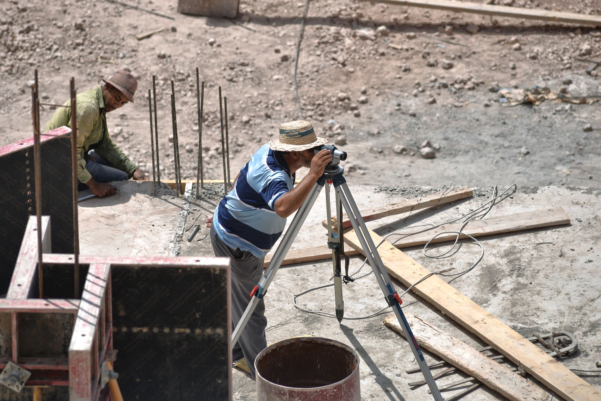
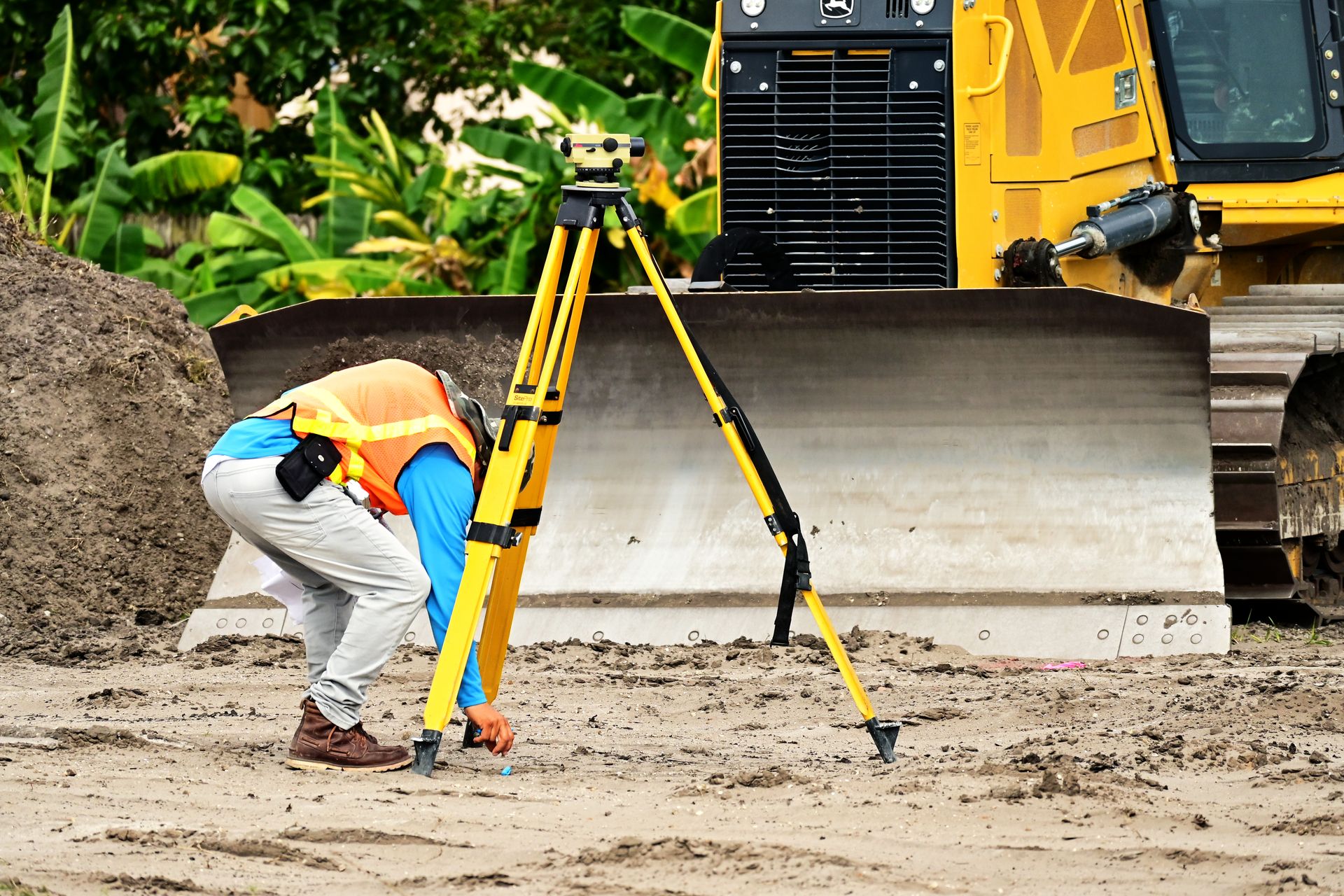
A topographic survey captures elevations, structures, trees, drainage and visible utilities across your site, processed into contours and a digital terrain model at the interval your designer specifies — typically one foot for development work.
We combine robotic total stations with GNSS control and aerial mapping, so large or wooded parcels are captured completely without return trips that stall your schedule.
Request a Quote
What's Included
Everything in a Stakeline Topographic Survey
Contours & Spot Grades
One-foot contours standard, with tighter intervals where design demands it.
Features & Utilities
Structures, paving, trees, drainage and observed utilities located and coded.
Digital Terrain Model
Surfaced 3D model and CAD linework ready for civil design software.
Benchmark Control
Site benchmarks tied to datum so construction starts from the same truth.
Process
From Walk-Through to CAD in Four Steps
Step 01
Scope
We agree contour interval, limits and deliverable formats with your designer.
Step 02
Control
GNSS control network established and checked before a single shot is taken.
Step 03
Capture
Ground crews and aerial mapping collect elevations, breaklines and features.
Step 04
Model
Surfaced model, contoured plan and CAD files delivered with a QA report.
Related Services

Designing on this ground?
Get terrain data your engineers can trust — quoted fixed, delivered on date.