Service Introduction
Eyes Above, Control on the Ground
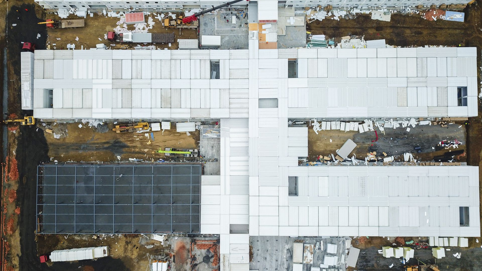
Our licensed drone crews map quarries, landfills, corridors and rooftops that would take ground crews weeks — then tie every pixel to GNSS ground control so the data is survey-grade, not just pretty pictures.
Deliverables include georeferenced orthomosaics, classified LiDAR point clouds, cut-fill and stockpile volumes, and progress imagery your stakeholders understand at a glance.
Request a Quote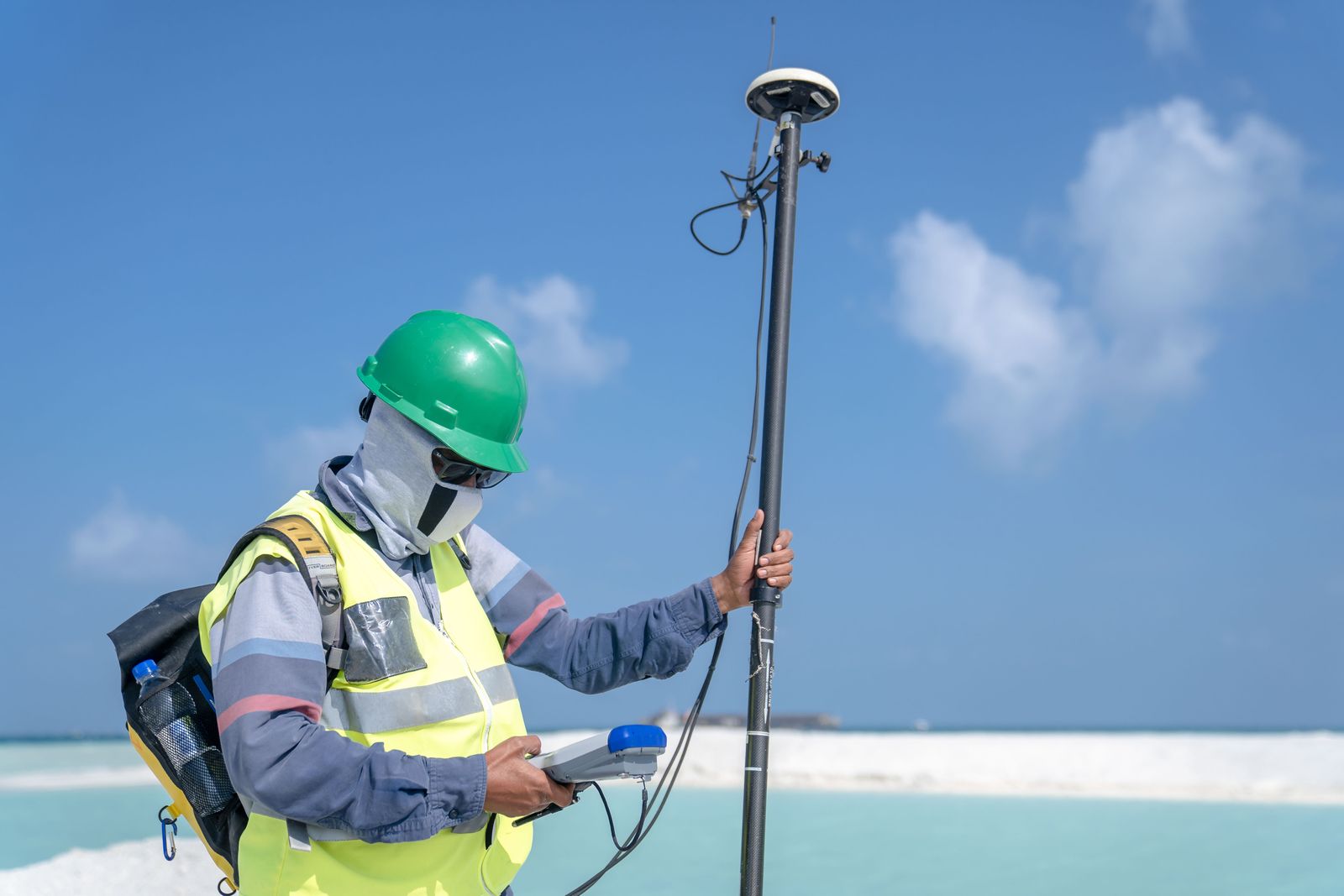
What's Included
Everything in Stakeline Aerial Mapping
Orthophotos
Centimetre-resolution mosaics georeferenced to your project datum.
LiDAR Clouds
Classified point clouds that see through vegetation to true ground.
Volumetrics
Stockpile, pit and cut-fill quantities with repeatable audit trails.
Progress Flights
Scheduled re-flights that document change across long programmes.
Process
Cleared for Takeoff in Four Steps
Step 01
Airspace Check
Authorisations, notices and safety planning cleared before mobilisation.
Step 02
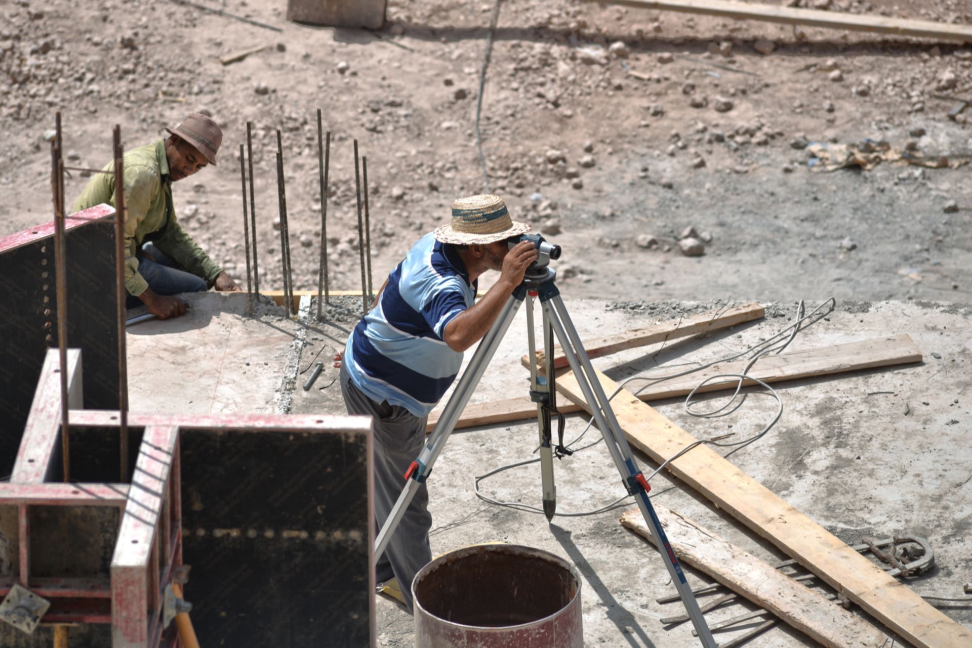
Ground Control
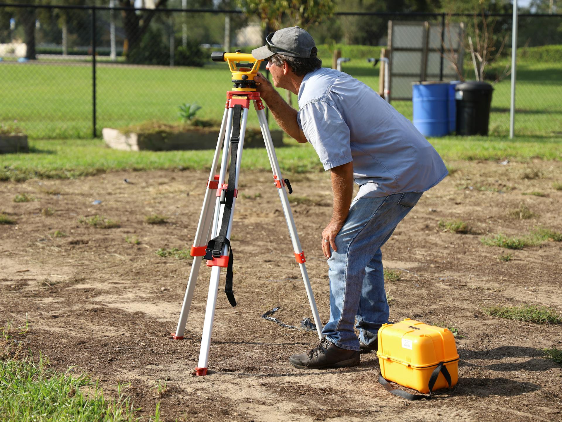
Surveyed targets placed so aerial data locks to real-world coordinates.
Step 03
Flight
Programmed missions flown by licensed pilots with visual observers.
Step 04
Process
Imagery and LiDAR processed, checked and delivered with an accuracy report.
Related Services
Need the big picture, fast?
One flight can replace weeks of ground shots — ask for an aerial quote.