Service Introduction
Prove Your Elevation, Lower Your Risk
If your property sits in or near a mapped flood zone, your insurer prices risk from the map — not from your actual slab height. A FEMA elevation certificate documents your building's true elevations so premiums reflect reality.
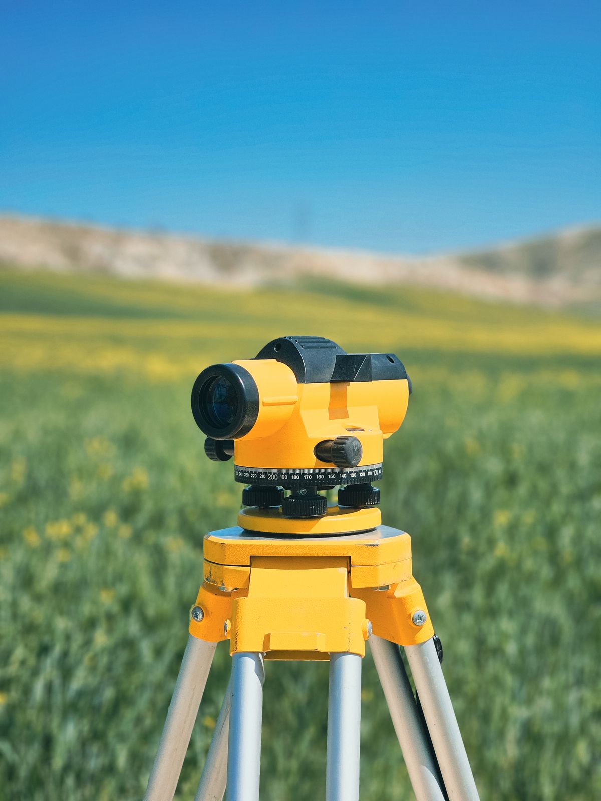
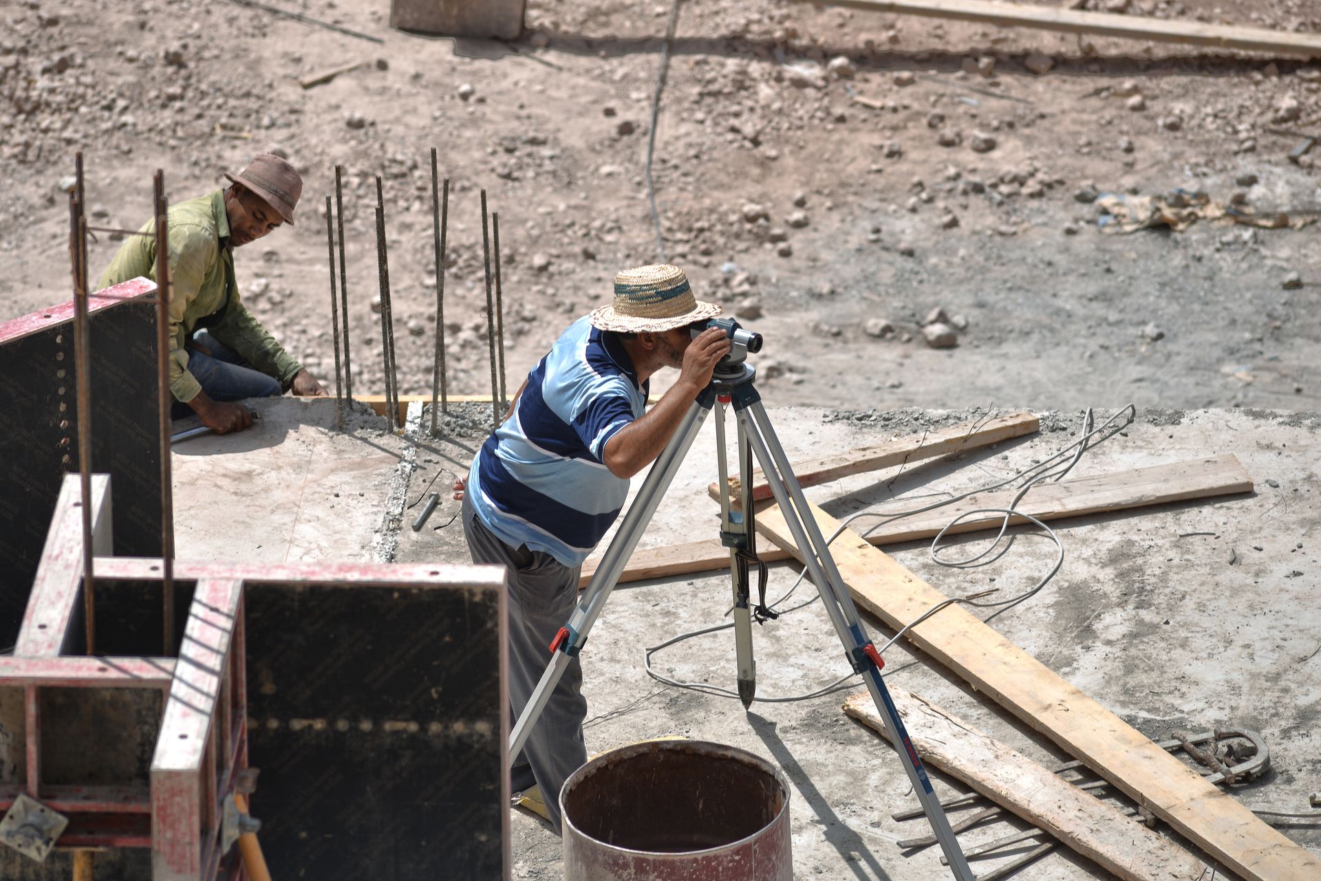
We shoot finished-floor, garage, equipment and adjacent-grade elevations to the tenth, complete the federal form, and support Letters of Map Amendment where the map itself needs correcting.
Request a Quote
What's Included
Everything in a Stakeline Certificate
FEMA Form
Completed, sealed elevation certificate ready for your agent or lender.
Full Elevation Set
Slab, garage, machinery and adjacent grades shot to the tenth of a foot.
Flood Map Review
Zone, BFE and panel verified so the form matches the current maps.
LOMA Support
Documentation packages for map amendments where ground outranks paper.
Process
Certified in Four Steps
Step 01
Map Check
We confirm your flood zone, panel and base flood elevation up front.
Step 02
Site Visit
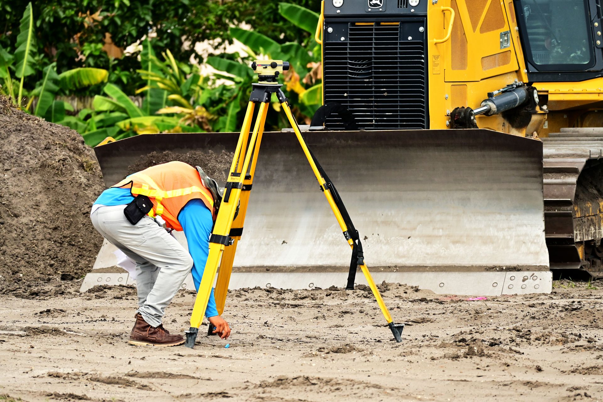
A one-hour visit captures every elevation the form requires.
Step 03
Certify
Form completed, sealed and delivered to you and your insurer.
Step 04
Follow Through
We answer underwriter questions and support amendments if needed.
Related Services
Paying too much for flood insurance?
A one-hour visit could cut your premium — get your certificate quoted.