
Project Overview
Eleven Miles of Control, One Datum
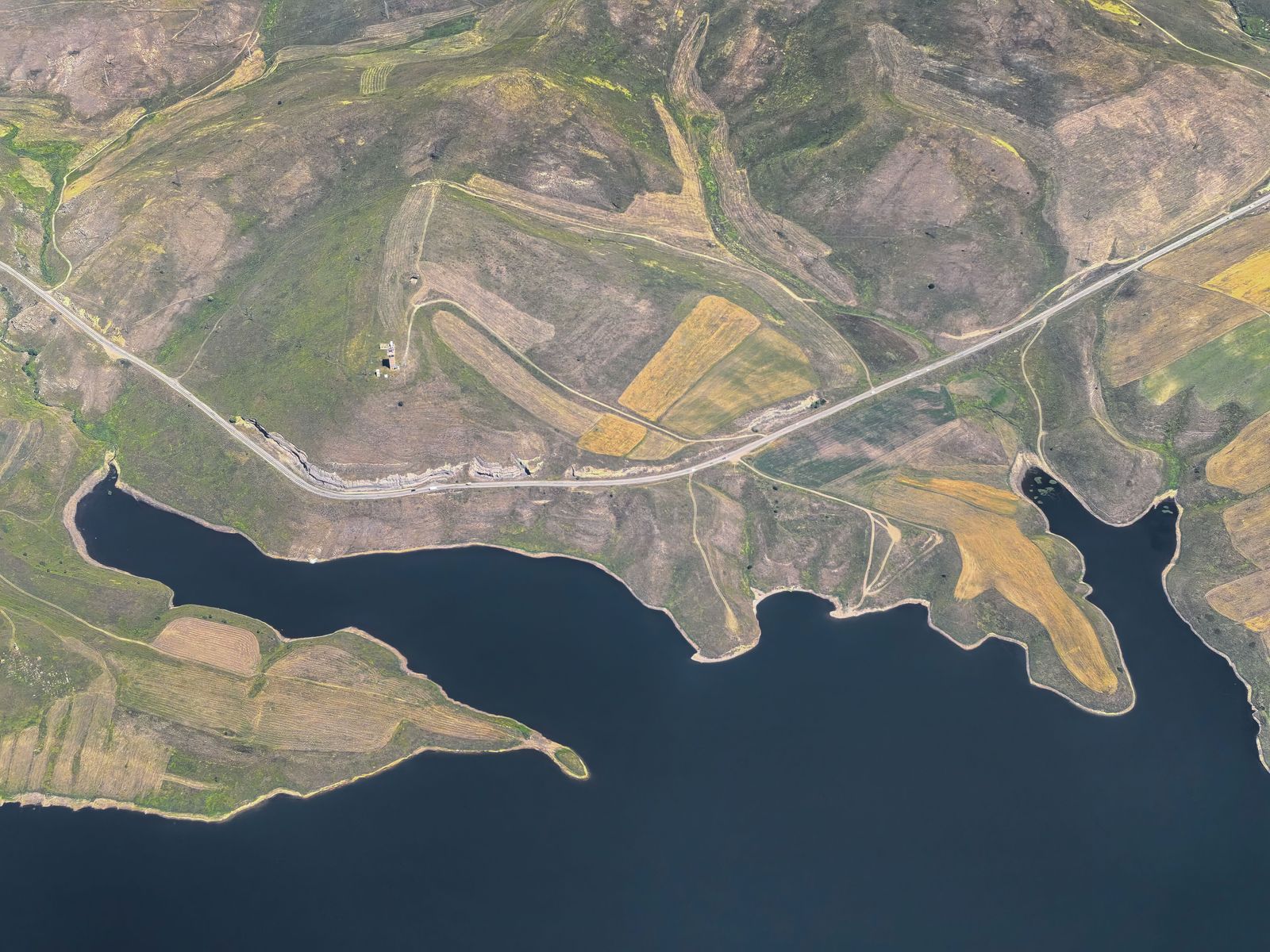
Ridgeway Civil Group needed survey control and terrain data for eleven miles of planned utility infrastructure crossing rolling hills, two creeks and a patchwork of farm parcels.
We established a single GNSS control backbone, mapped the corridor with combined ground and aerial methods, and delivered one seamless terrain model their designers could route through without datum breaks.

Challenge
Hills, Creeks and Forty Landowners
Steep wooded slopes blocked satellite signals in the valleys, and access had to be negotiated parcel by parcel across forty ownerships — with a design milestone fixed six weeks out.
Approach & Solution
Control First, Then Everything Else
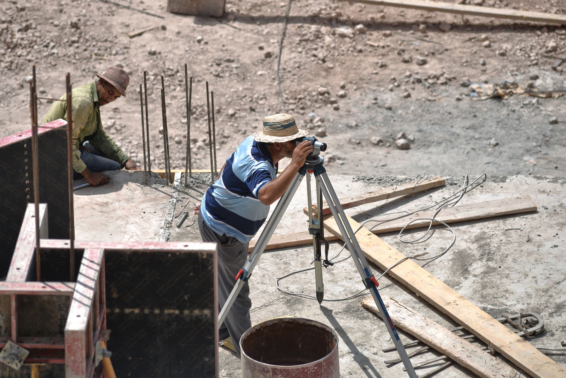
Ridgetop GNSS pairs bridged the dead zones, ground crews leapfrogged ahead of access permissions, and aerial mapping filled the interiors — the full model delivered four days before the milestone.
Project Gallery 

From the Field
Related Work
Planning linear infrastructure?
One datum, full corridor, delivered before your design milestone.