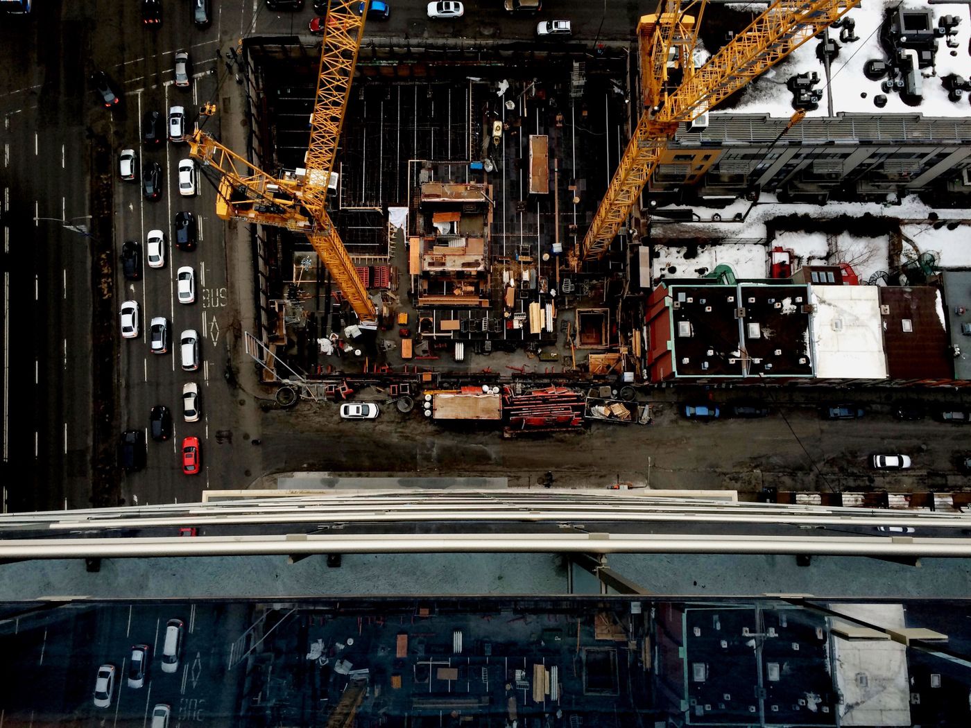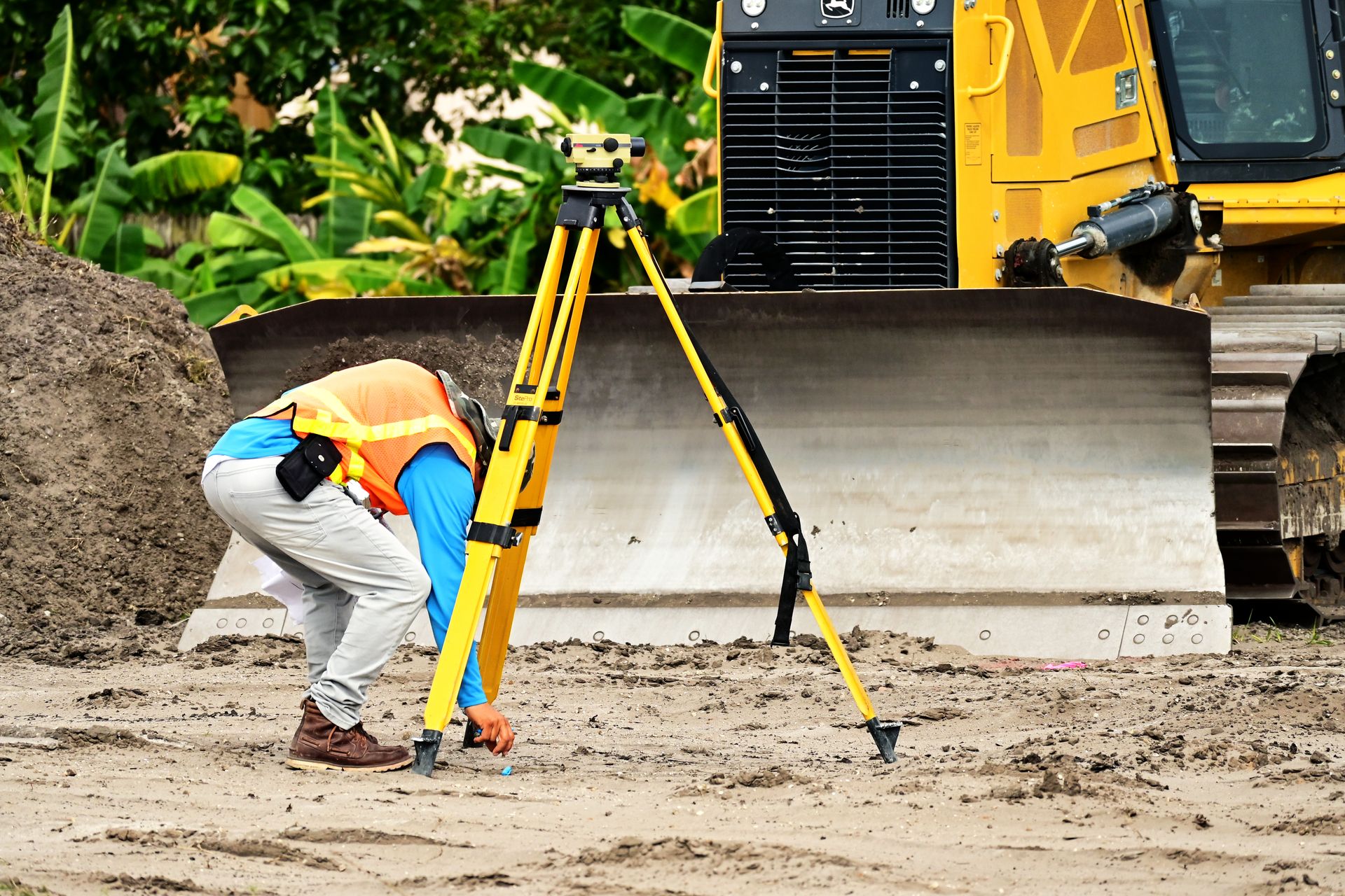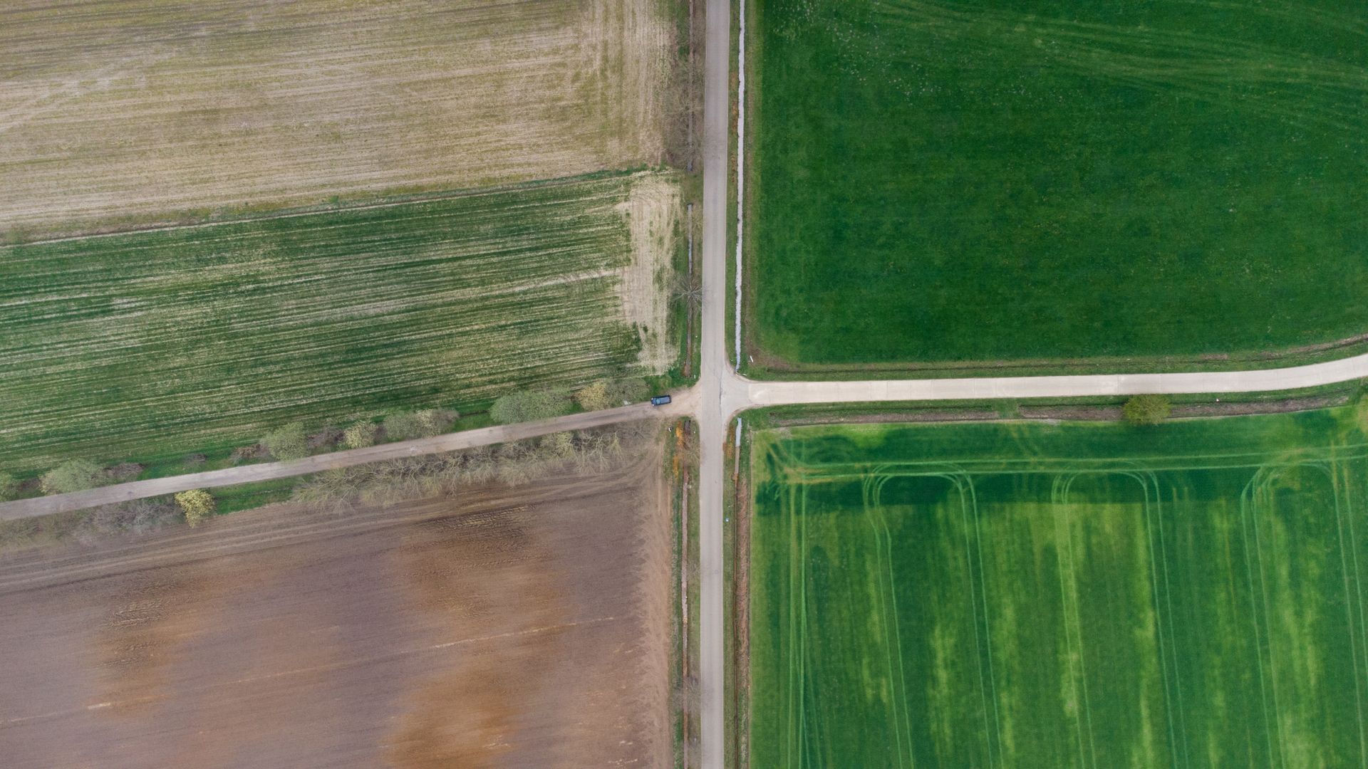
Most boundary disputes start the same way: a new fence, a sold lot, or a driveway that suddenly looks too close. Feelings run high — but the ground doesn't take sides, and a certified survey gives both parties the same facts.
A boundary retracement separates three things people constantly confuse: the deeded line, the occupied line (fences, hedges, mowing edges) and the titled line after years of use. Plotting all three on one drawing turns an argument about “my land” into a discussion about documented evidence.
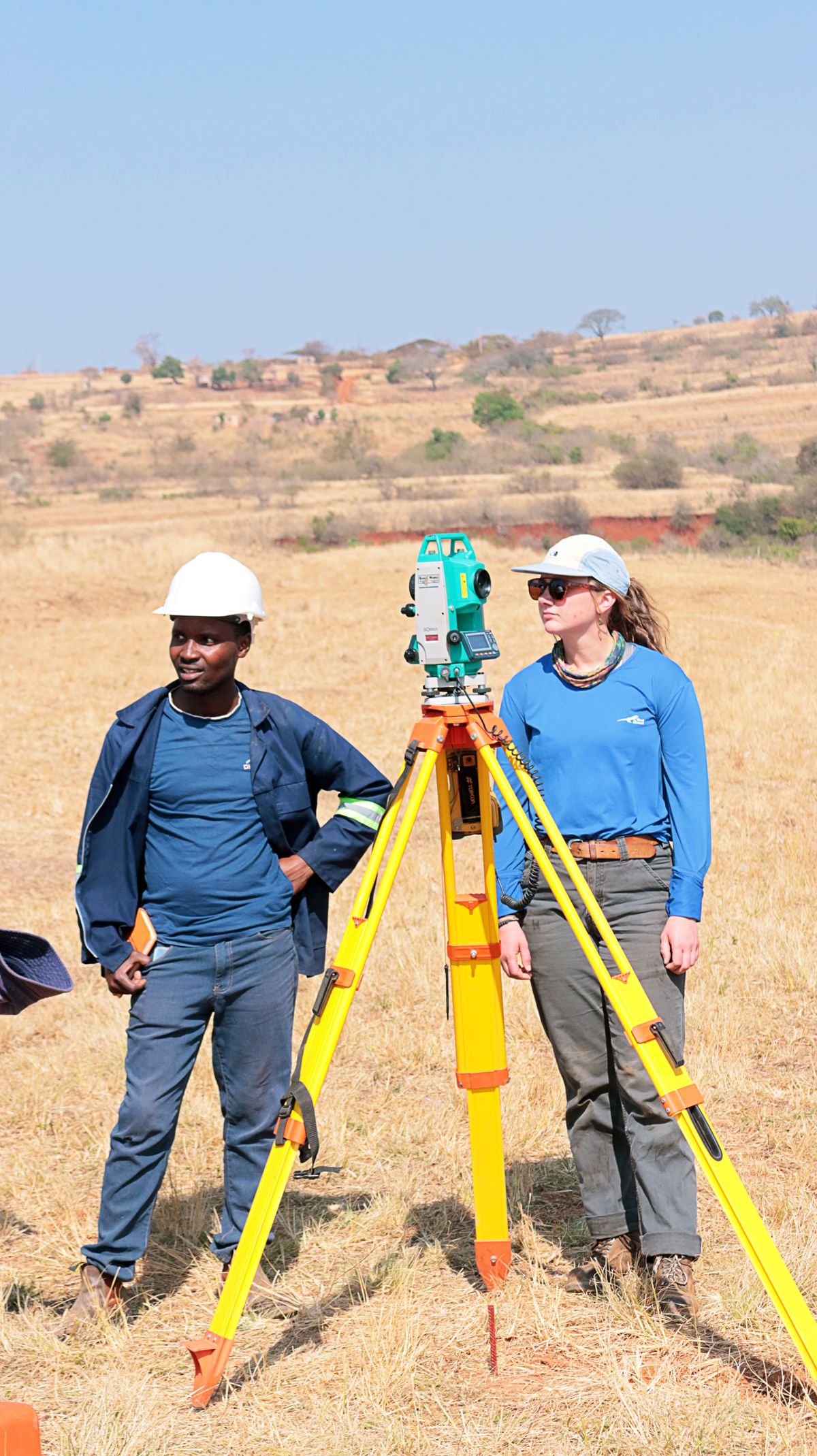
From Survey to Settlement
In our experience, a clear plat resolves the large majority of neighbour disagreements without attorneys: fences get moved, easements get granted, and lot-line adjustments get recorded by agreement. Where litigation is unavoidable, courts give decisive weight to a licensed surveyor's monuments and testimony.
The worst outcome is building first and measuring later. A few hundred spent on a survey before the fence goes up routinely saves tens of thousands in removals, claims and damaged relationships.
Key Takeaways
Survey before you build near a line. Ask for occupation lines plotted alongside deeded lines. Share the plat early — transparency settles more disputes than pressure ever does.