“I need a survey” is where most conversations start — but there are half a dozen distinct surveys, and ordering the wrong one wastes both money and weeks. Here's how to match the survey to the situation.
Boundary surveys prove where your land ends. Order one when buying, selling, fencing or disputing a line. Topographic surveys map elevations and features for design — architects and civil engineers can't draw without one. ALTA/NSPS surveys satisfy commercial lenders and title insurers at closing.
Construction, Drones and Flood Paperwork
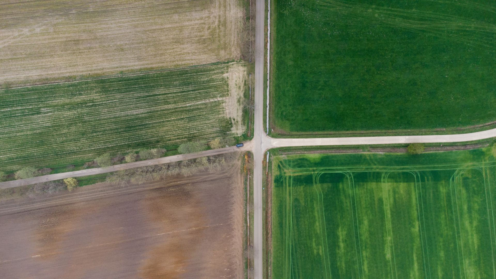
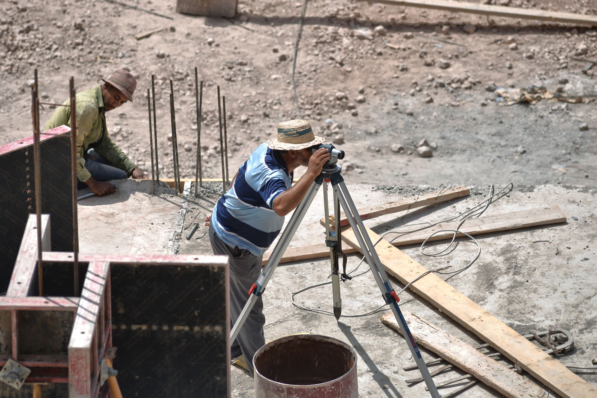
Construction staking transfers plans to the ground — grids, grades, bolts — and verifies them before concrete. Drone and LiDAR mapping cover large or inaccessible sites fast, tied to ground control. Elevation certificates document flood-plain heights for insurers and permits.
When in doubt, describe your goal rather than naming a survey: a good firm will recommend the smallest scope that answers your question — and tell you when one field visit can produce two deliverables.
Key Takeaways
Buying or fencing means boundary; designing means topographic; commercial closing means ALTA; building means staking. Combine scopes into one mobilisation wherever the site allows it.